![]() ORDERS OVER £95 ARE SHIPPED FREE
ORDERS OVER £95 ARE SHIPPED FREE

Thermal Imaging Drones
Filter by Brand
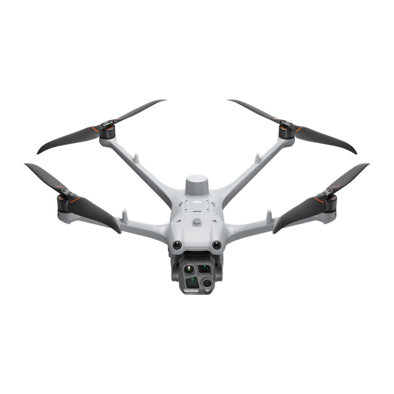
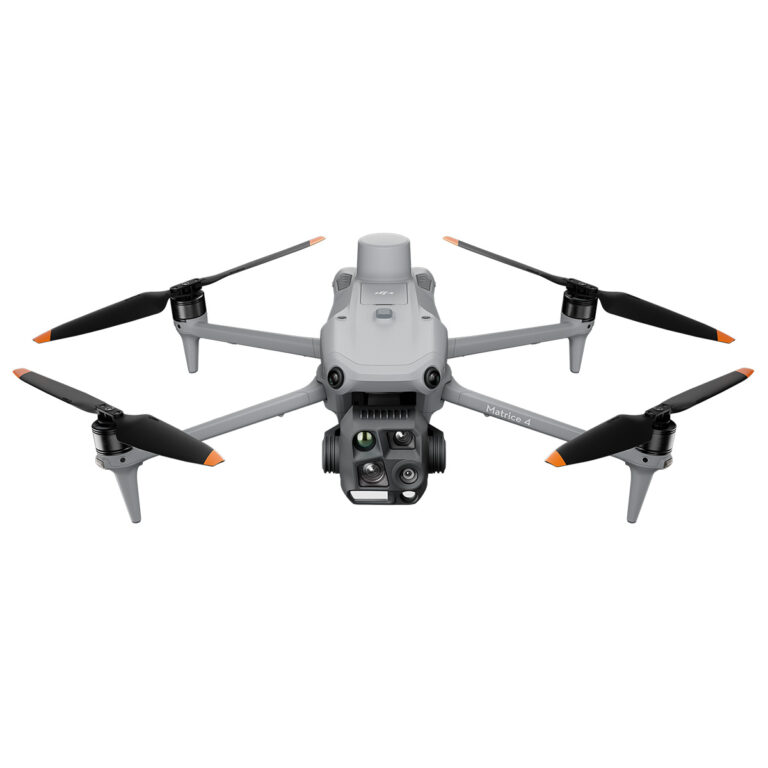
 DJIDJI 2
![]() ORDERS OVER £95 ARE SHIPPED FREE
ORDERS OVER £95 ARE SHIPPED FREE
 DJIDJI 2
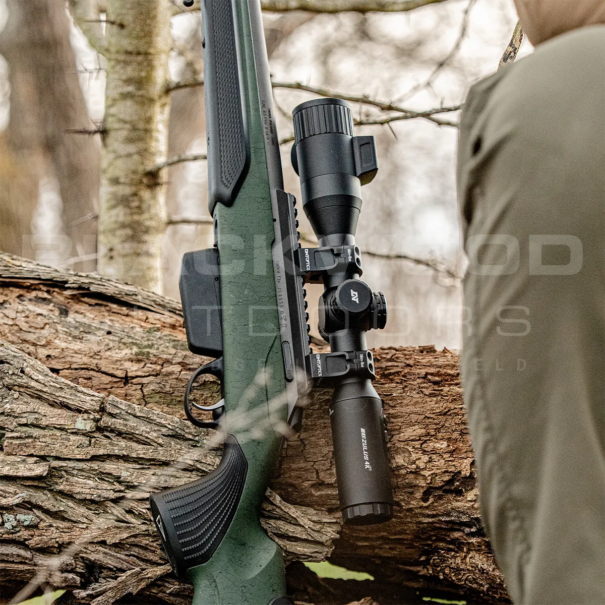
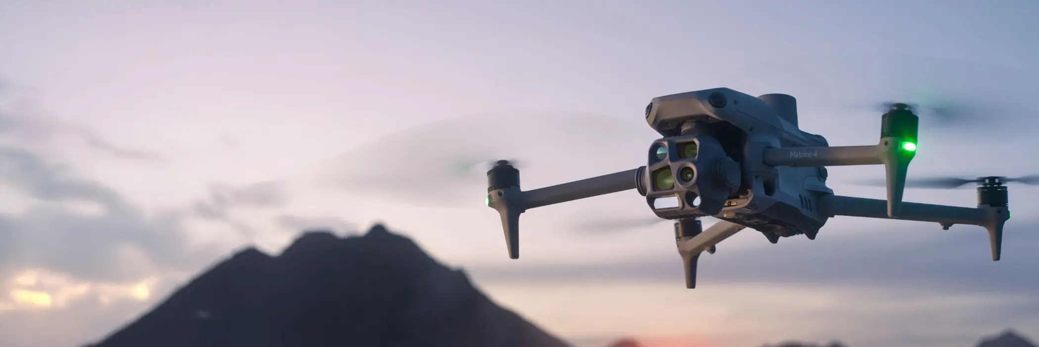
Shop the latest thermal drones with advanced thermal imaging cameras on drones for unmatched visibility in any environment. From deer surveys and wildlife monitoring to search & rescue, inspections, and security, a drone with thermal camera delivers powerful heat detection and crystal-clear imaging. Upgrade your aerial toolkit today with cutting-edge thermal drone technology.
A thermal drone is an unmanned aerial vehicle equipped with a thermal imaging camera. Unlike standard drones, these models can detect heat signatures, giving operators the ability to see in complete darkness, through smoke, fog, or vegetation. This makes them invaluable for professional and commercial applications.
A drone with thermal camera offers powerful advantages:
High-resolution thermal imaging to detect precise heat variations
Dual vision setups combining thermal and standard 4K video
Smart flight modes like waypoint navigation and object tracking
Long battery life for extended missions
Durable, lightweight builds for reliable use in demanding environments
Whether you’re inspecting infrastructure, conducting surveys, or monitoring wildlife, thermal drones deliver critical insights that standard drones cannot.
The use cases for a thermal imaging camera on drone are vast and growing. Common applications include:
Deer surveys and wildlife monitoring – detect animals in dense cover or at night without disturbing them
Search and rescue – locate missing persons quickly and safely
Firefighting – identify hotspots and improve response strategies
Agriculture – assess crop health and irrigation needs
Security and surveillance – monitor large areas with heat detection
Infrastructure inspections – detect faults or energy loss in buildings, power lines, and solar farms
By pairing intelligent software with thermal imaging, these drones provide accurate, real-time data that improves decision-making in critical missions.
Yes. Thermal drones are highly effective for deer surveys and wildlife population counts, as they detect heat signatures even in dense vegetation or low light. This allows for accurate tracking and monitoring without disturbing natural behavior.
A thermal drone is an unmanned aircraft fitted with a thermal imaging camera, allowing you to detect and record heat signatures. This makes it invaluable in darkness, smoke, fog, or dense environments.
They’re used across industries: search & rescue, firefighting, building inspections, agriculture, security, and wildlife monitoring. A drone with thermal camera provides vital insights that standard cameras cannot.
In many regions, commercial operators need certification. Check your local aviation regulations before flying professionally.
Depending on the model, detection can range from a few hundred meters to several kilometers, especially when paired with optical zoom.
Yes. Many professional thermal drones feature dual cameras — combining a thermal sensor with a 4K RGB camera so you can record both views simultaneously.